-
ALTLAS: Trails, Maps & Hike
- Category:Other
- Updated:2024-04-07
- Rating: 4.3
Introduction
Discover, record, and share your outdoor adventures with the ALTLAS: Trails, Maps & Hike app. This ultimate activity tool allows you to explore hiking trails, record your activities with GPS, and import/export GPX trails. With its accurate altimeter and tracking information, you can navigate any trail and find the perfect elevation for your activities. Whether you're walking, trekking, cycling, or skiing, this app provides you with vital information such as altitude, peak points, barometric pressure, and speed. Connect with a community of outdoor enthusiasts, share routes and places, and take your adventures to new heights with ALT-LAS. Download now and start your journey!
Features of ALTLAS: Trails, Maps & Hike:
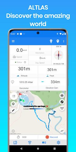
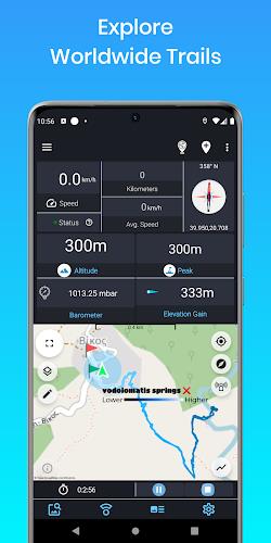
- Elevation finder and activity tracker: The app accurately tracks your altitude, peak points, barometric pressure, speed, and more, allowing you to easily monitor your activities.
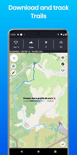
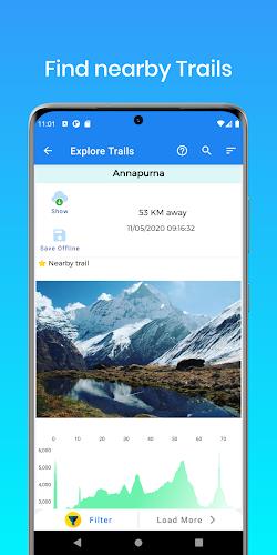
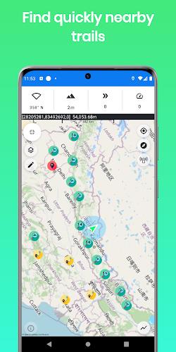
- Extensive database of hiking trails: With a unique database of many trails around the world, recorded by users, you can easily find the best hiking trails for your outdoor adventures.
- Altitude limitations alerts: The app alerts you against altitude limitations, ensuring your safety during various activities such as Walking, Trekking, Flights, Cycling, Skiing, biking, and more.
- Community-driven sharing: Help build a community that shares routes and places around the world, allowing you to discover new trails and create connections with like-minded outdoor enthusiasts.
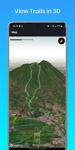
- Offline maps and 3D trail view: The Pro version of the app offers offline maps, allowing you to continue exploring even without an internet connection. Additionally, you can view trails in 3D, enhancing your navigation experience.
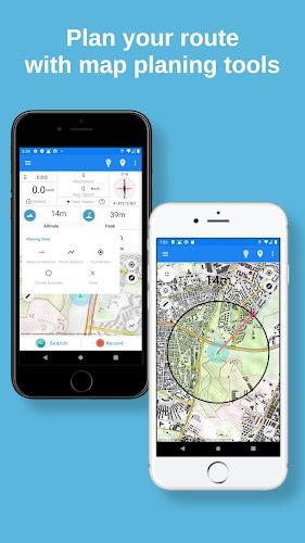
- Planning and navigation tools: Measure routes and vertical distance, get the fastest route between any location, retrieve coordinates on the map, estimate time of arrival, and set circular boundaries with the app's planning and navigation tools.
Conclusion:
With ALTLAS: Trails, Maps & Hike, you can explore, record, and share your activities with ease. Its accurate altimeter and tracking information make it an essential tool for outdoor enthusiasts. Find the best hiking trails, monitor your altitude and activity details, and connect with a community of like-minded individuals. Download the app now and embark on your next adventure!
Information
- Size: 31.38 M
- Language: English
- Version: 5.0.7
- Requirements: Android
- Ratings: 100
- Package ID: altitude.alarm.erol.apps
Top Downloads
Related Apps
Latest Update


Popular Category
Comment
-
Love this! It works!2024-05-21 14:00:28
-
Nice app easy to use2024-05-21 13:37:23
-
One the best app I have ever seen.. ❤️❤️❤️2024-05-21 10:29:06
-
The only app who give me the True altitude2024-05-21 00:16:13
-
Very good experience with this App2024-05-20 23:26:09
-
Great app. Easy to use.2024-05-19 13:31:32


